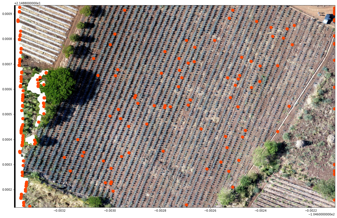
This module develops topics focused on crop identification / delineation with
geospatial and machine learning tools of Python. The course covers the
introductory concepts of the geospatial libraries and a series of machine learning
applications for crop identification in olive trees, palms, agave and corn fields.
