Diploma in Geospatial Analysis, Land Cover Evaluation, Geomachine Learning & Surface Modeling with Python
Hatarilabs has developed a complete program that offers a comprehensive exploration of the basic concepts to cutting-edge techniques for geospatial analysis, land cover evaluation, geomachine learning and surface modeling with Python. The program was designed to give the student the fundamental knowledge necessary to excel in advanced environmental modeling, spatial land analytics or applied machine learning of surface features. The program content incorporates the research findings on the latest versions from the most powerful spatial analysis libraries in Python as Shapely, Geopandas, Rasterio, Scikit Image and Landlab.
The program has an approach of step-by-step learning coupled with applied examples that covers from basic Python concepts to most complex use of geospatial and machine learning libraries.
Objectives
The objectives of this diploma include the following:
- Understand the principles and concepts of geospatial analysis, including spatial data types, coordinate systems, projections, and spatial analysis techniques.
- Develop proficiency in Python programming language for data analysis and geospatial analysis tasks.
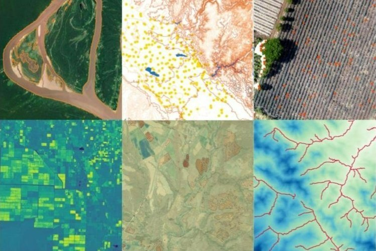
- Develop skills to assess and analyze land cover types using remote sensing data and satellite imagery.
- Explore the application of machine learning algorithms and techniques to geospatial data.
- Acquire knowledge and skills in surface analysis and modeling of surface processes.
- Apply the acquired knowledge to solve real-world problems related to land cover evaluation, surface modeling, and geospatial analysis.
Content
The diploma is divided into six modules, described below.. See the complete diploma syllabus on this link.
Date and time
The course is offered in sessions of approximately 1.5 to 2 hours. All sessions start at 6pm Central European Time (CET) - Amsterdam Time.
- Module 1 - September 2023 (12, 14, 19, 21, 26 and 28)
- Module 2 - October 2023 (10, 12, 17, 19, 24 and 26)
- Module 3 - November 2023 (02, 07, 09, 14, 16 and 21)
- Module 4 - December 2023 (05, 07, 12, 14, 19 and 21).
- Module 5 - January 2024 (09, 11, 16, 18, 23 and 25)
- Module 6 - February 2024 (06, 08, 13, 15, 20 and 22)