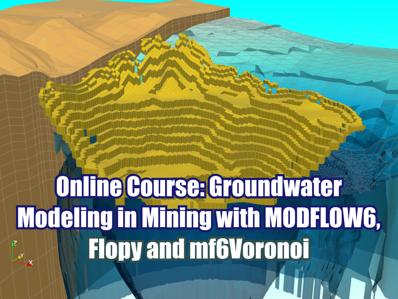

Modeling groundwater inflows to pit and underground mines and assessing the impact of mining projects on the surrounding groundwater flow regime is vital for the planning and engineering of mining projects. Mine working interaction with the groundwater flow regime is a dynamic process that the user can model with MODFLOW6 together with Flopy and mf6Voronoi. This workflow has great advantages for developing mine related groundwater models since it allows fine discretizations, is fully coupled with geospatial data, comes with precoded templates and generates awesome 3d visualizations.
This course covers the use of MODFLOW6 with Flopy and mf6Voronoi for numerical modeling of the groundwater flow impact from pit development, underground mines and seepage from water dumps and tailings storage facilities.
Content
The course consists of 6 sections. These are the topics for each session:
Session 1: Modeling Groundwater Inflow into Underground Mines with MODFLOW6
This session covers an applied numerical simulation for underground mine inflows, including transient model construction, simulation, and water balance analysis. Several common steps in groundwater modeling are addressed, such as:
Grid generation from spatial data
Model configuration under transient flow conditions
Definition of hydraulic parameters and boundary conditions
Running simulations and exporting data
3D visualizations in ParaView and water balance analysis
Session 2: Modeling Seepage Flow from Mine Waste Storage Facilities with MODFLOW6 GWT
This session covers groundwater simulation in the area of two mine waste facilities in an Andean basin, as well as visualizing the formation of the contaminant plume. The following topics will be addressed:
Grid generation from spatial data
Definition of the aquifer and boundary conditions (Recharge, Evapotranspiration, Drains, and General Head)
Importing raster data to define regional flow
Transport model configuration under a MODFLOW6 simulation with observation points
3D visualization of the contaminant plume
Session 3: Groundwater Model Construction for a Tailings Dam - Part I, Flow Simulation
This session demonstrates the procedure for inserting boundary conditions and key properties into a groundwater flow model for a tailings storage facility under steady-state conditions using a 19-layer model. The session includes:
Grid generation from spatial data
Importing layer elevations from geospatial rasters
Definition of multiple aquifers, confinement types, and hydraulic parameters
Definition of tailings as boundary conditions and hydraulic parameters from spatial/raster data
Running groundwater flow simulations, water balance analysis, and generating 3D visualizations
Session 4: Groundwater Model Construction for a Tailings Dam - Part II, Transport Simulation
Based on the flow model built in the previous session, we will construct a transport model to simulate tailings seepage and explore the concentration distribution of contaminants. The session covers:
Importing the groundwater flow model
Definition of boundary conditions for transport models, such as recharge, initial conditions, and constant concentrations
Parameter configuration for advection, diffusion, and output control
Definition of piezometers as observation points
3D visualization of the contaminant plume and analysis of concentration trends
Session 5: Groundwater Flow Model Construction for Open Pit Dewatering - Part I, Model Construction
This session covers an applied case study to determine a cone of depression using an open-pit model built with MODFLOW6, Flopy, and mf6Voronoi. The model consists of 18 layers and is based on transient flow conditions, coupled with a geological model for the intrusive body. The session covers the following steps:
Grid generation from spatial data
Definition of boundary conditions (Recharge, Evapotranspiration, and General Head)
Importing the geological model in voxels
Definition of pit elevation as drains across different mining stages
Running the model and exploring water balances
Session 6: Groundwater Flow Model Construction for Open Pit Dewatering - Part II, 3D Visualization
This session focuses on visualizing the impact of open-pit development on the groundwater flow system using ParaView, exploring all available tools within the software to create isosurfaces, plot cross-sections, and export screenshots. The session will cover:
Exporting model geometry and results as 3D files (.vtk)
Introduction to ParaView
Representation of model parameters and boundary conditions
Plotting the open pit and the water table for a given mining stage
Generating water level isosurfaces
Trainer
Saul Montoya M.Sc.
Hydrogeologist - Numerical Modeler
Mr. Montoya is a Civil Engineer graduated from the Catholic University in Lima with postgraduate studies in Management and Engineering of Water Resources (WAREM Program) from Stuttgart University – Germany with mention in Groundwater Engineering and Hydroinformatics. Mr Montoya has a strong analytical capacity for the interpretation, conceptualization and modeling of the surface and underground water cycle and their interaction.
He is in charge of numerical modeling for contaminant transport and remediation systems of contaminated sites. Inside his hydrological and hydrogeological investigations Mr. Montoya has developed a holistic comprehension of the water cycle, understanding and quantifying the main hydrological dynamic process of precipitation, runoff, evaporation and recharge to the groundwater system.
Over the last 9 years Saul has developed 2 websites for knowledge sharing in water resources: www.gidahatari.com (Spanish) and www.hatarilabs.com (English) that have become relevant due to its applied tutorials on groundwater modeling, spatial analysis and computational fluid mechanics.
Methodology / Examination
Mode: Online - Asynchronous
Some details about the course methodology:
Manuals and files for the exercises will be delivered on our online platform.
The course will be developed by video streaming with life support and interaction, recorded videos will be available on our elearning platform.
There is online support for questions regarding the exercises developed through email and webconferences.
Video of the classes will be available for 12 months.
The exams are certification is organized as follows:
The course has 1 exam.
Digital certificate available at the end of the course upon the exam approval.