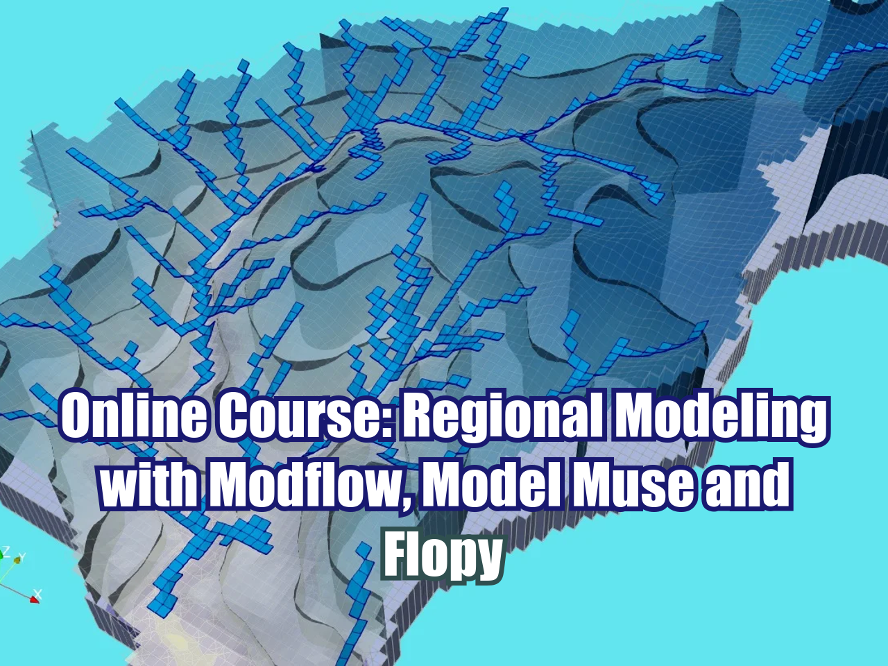
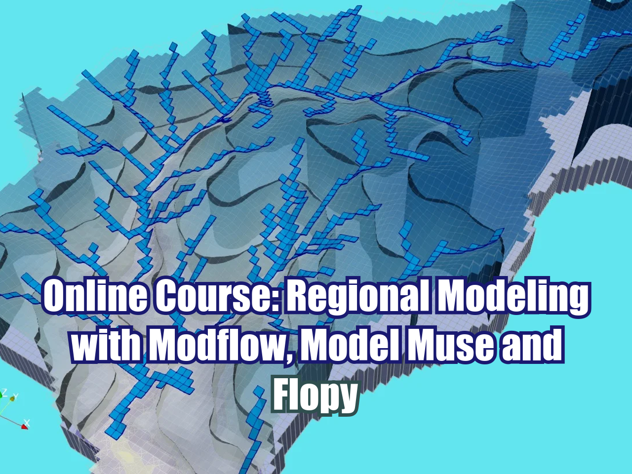
Regional groundwater modelling is an important task in strategic water management which can be used to assess the current groundwater situation and to predict future conditions. It is also frequently used to quantifying recharge, discharge and to evaluate aquifer parameters as well. This course presents the main functions and applications of MODFLOW for regional groundwater modelling. MODFLOW is the USGS software using finite difference method to solve the groundwater flow equations. It is the most popular modelling software among hydrogeologists and environmental scientists. There have been free and commercial GUIs developed for MODFLOW. ModleMuse and Flopy are two USGS programs which support the preprocessing, running and post-processing of MODFLOW. ModelMuse has graphical interface and Flopy is developed in python and is code driven. Both of them have been widely used by hydrogeologists.
This course covers the whole procedure of developing regional groundwater models through the ModelMuse interface, including the model construction, boundary conditions, parameter assignment, model simulation, results analysis and visualization, and model calibration. Flopy is also introduced in the course to import, create, refine and simulate the model as in ModelMuse. Two basins with different aquifer setting and boundary conditions are used as case studies to demonstrate the use of these tools so that the participants learn how to build these models and analyze the results for future decision-making.
Objectives
The development of this course is to guide the students to understand the concepts of and follow the complete procedures of regional groundwater modelling using model tools and functions provided in the GUIs. In this course the student will learn:
- Concepts of groundwater flow modelling
- ModelMuse environment and tools for modelling.
- Flopy environment and tools for modelling
- Conceptualization, grid design, boundary conditions and MODFLOW packages
- ·Model result analysis and visualization
- Model calibration
Content
Session 1
- Introduction to the environment of ModelMuse
- Building a regional model
- Define model area and active zone
- Model layers and spatial discretization
- Import external data
- Assign boundary conditions and hydraulic parameters.
Session 2
- Application of the MODFLOW packages - DRN, RCH and EVT
- Using global variables to assign model parameters
- Using graphical objects and external shapefiles to apply model parameters and boundary conditions
- Input observations
Session 3
- Analysis of the groundwater balance.
- Comparison of simulated - observed hydraulic heads.
- Visualization of results in ModelMuse
- Introduction to the environment of Flopy
- Construct the model in Flopy
Session 4
- Building another regional model.
- Application of the MODFLOW packages - DRN, RCH, EVT, and GHB.
- Using global variables to assign model parameters.
- Using graphical objects and external shapefiles to apply model parameters and boundary conditions.
- Model visualization.
Session 5
- Calibration of a regional model
- Insert piezometers
- Simulation of the model
- Water balance analysis
- Analysis of model convergence.
- Adjustment of parameters according to physical considerations
Session 6
- Optimizing the regional model
- Comparison of observed and simulated data
- Analysis of calibration statistics with Flopy
- Analysis of water levels.
- Visualization and analysis of water balance of the calibrated model.
Trainer
Saul Montoya M.Sc.
Hydrogeologist - Numerical Modeler
Mr. Montoya is a Civil Engineer graduated from the Catholic University in Lima with postgraduate studies in Management and Engineering of Water Resources (WAREM Program) from Stuttgart University – Germany with mention in Groundwater Engineering and Hydroinformatics. Mr Montoya has a strong analytical capacity for the interpretation, conceptualization and modeling of the surface and underground water cycle and their interaction.
He is in charge of numerical modeling for contaminant transport and remediation systems of contaminated sites. Inside his hydrological and hydrogeological investigations Mr. Montoya has developed a holistic comprehension of the water cycle, understanding and quantifying the main hydrological dynamic process of precipitation, runoff, evaporation and recharge to the groundwater system.
Over the last 9 years Saul has developed 2 websites for knowledge sharing in water resources: www.gidahatari.com (Spanish) and www.hatarilabs.com (English) that have become relevant due to its applied tutorials on groundwater modeling, spatial analysis and computational fluid mechanics.
Methodology / Examination
Mode: Online - Asynchronous
Some details about the course methodology:
- Manuals and files for the exercises will be delivered on our online platform.
- The course will be developed by video streaming with life support and interaction, recorded videos will be available on our elearning platform.
- There is online support for questions regarding the exercises developed through email and webconferences.
- Video of the classes will be available for 12 months.
The exams are certification is organized as follows:
- The course has 1 exam.
- Digital certificate available at the end of the course upon the exam approval.